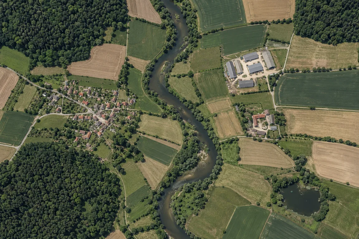
There’s a whole world in your imagery. Let’s make sense of it.
SATIFY accelerates the journey from remote sensing imagery to geospatial
intelligence. By reducing annotation time by up to 100×, SATIFY enables organisations to rapidly generate
high-quality segmentation and object detection labels for deep learning applications. At the same time,
it provides an intuitive platform for image exploration and analytics, helping users extract actionable
insights directly from remote sensing data.
Find all eight to reveal the whole pixel world. Fictional aerial imagery.
LOOK CLOSER↓THERE’S MORE TO DISCOVER
OUR MISSION
Beyond Pixels.
Empowering organisations to transform Earth observation data into transparent,
actionable intelligence through human-centred AI, technological independence, and trustworthy analytics.
01
Outpacing Others
We accelerate geospatial image analysis through interactive AI. SATIFY combines semi-supervised learning
with direct user interaction, allowing analysts to guide and refine geospatial models during the
analysis process. Instead of relying on lengthy training cycles, models can be adapted and fine-tuned
in real time, enabling significantly faster segmentation, object detection, and feature extraction
while maintaining expert oversight and control.
02
Beyond RGB: See More with Every Band
Leverage the full spectral richness of your imagery, not just RGB. Exploit subtle spectral signatures
across multiple bands to distinguish classes more reliably and create more accurate annotations.
03
Independent European Technology
We are committed to technological sovereignty and long-term independence. SATIFY is developed entirely
in-house as a European software solution, free from external licensing constraints and vendor lock-in.
Organisations retain full control over their workflows, data, and deployments, enabling secure and
sustainable use in research, industry, and public-sector applications.
04
Explainable and Trustworthy AI
Critical decisions require transparent evidence, not black-box predictions. SATIFY provides explainable
analytics that make the reasoning behind model outputs understandable and traceable. Our platform can
generate reports documenting decision pathways, confidence metrics, and analytical assumptions,
enabling informed decision-making in high-impact domains such as environmental monitoring,
infrastructure planning, security, and public policy.
OUR SUPPORTERS
Every quest needs allies.
Together with us, these organizations make up the SATIFY Guild. They support us on our quest to turn pixels into insights.
Thank you for helping us level up.
YOUR IMAGERY. YOUR WORKSPACE.
The SATIFY app. Give your imagery meaning.
Turn satellite, drone and aerial imagery into useful labels. Combine
model-assisted tools with precise manual editing to label regions, trace structures and
explore changes across scenes.
Imagery, labels and tools in one workspace. Select to enlarge.
Semi-Supervised Learning
Label with fewer clicks.
Fill model-suggested regions with Smart Fill. Provide feedback and fine-tune the model
as you work to improve its predictions.
Old but Gold
Classic tools. Precise labels.
Use the pen, bucket fill and polygons to draw the details yourself and stay in control
of every label.
One-Click Refinement
Cleaner labels. Less manual work.
Apply classical image processing with a click to smooth boundaries, remove artefacts
and make your annotations more consistent.
Have imagery to label, a workflow to improve, or a question about SATIFY?
Tell us what you’re working on and where you could use a hand.
Whether you’re planning your first labelling project or refining an existing one,
let’s explore how SATIFY could help. We’d also love to hear your ideas and feedback.